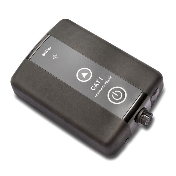
- “All in one unit” with minimum set-up time
- Automatic baseline heading calculation
- Highly accurate and reliable data
SafePilot CAT II
Categories: NAVIGATION AND PILOTING, TRELLEBORG MARINE SYSTEM
Description
For the maritime pilot operating in confined and busy waterways and ports, the SafePilot CAT II offers a precise, reliable tool for navigation and berthing, providing all required navigational data and a large range of options for additional real-time data integration. The CAT II is completely independent of the ship’s sensors. CAT II uses both GPS (L1) and GLONASS (L1) satellites and is prepared for Gallileo. It is available in 4 versions:
– GPS/GLONASS uncorrected
– Differential corrections via SBAS
– Differential corrections via UHF
– Differential corrections via 3G / 4G
Be the first to review “SafePilot CAT II” Cancel reply
You must be logged in to post a review.


Reviews
There are no reviews yet.